Drone Surveys
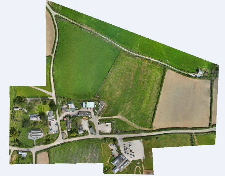
A drone survey is a highly efficient and cost-effective method of collecting data about an environment or structure using unmanned aerial vehicles (UAVs), also known as drones. Drones are equipped with high-resolution cameras and sensors that can capture detailed aerial images and 3D data.
At our Piran Surveys, we offer drone surveys in Cornwall for a variety of applications. Our team of experienced pilots and surveyors uses the latest drone technology to collect data quickly and accurately, even in hard-to-reach or hazardous areas.
Using drone data, we can create detailed plans, point clouds, and orthomosaic images that provide valuable insights into site conditions, terrain, vegetation, and other features. Drone surveys can also be used to monitor construction progress, inspect structures, and identify potential safety hazards.
With our drone services in Cornwall, you can expect fast and efficient data collection, highly detailed and accurate results, and customizable deliverables that are tailored to your project requirements.