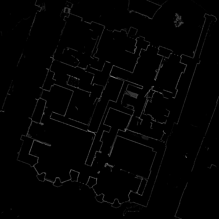

Laser Scanning
Laser scanning is a highly accurate and efficient method of capturing detailed data about an environment or structure. It involves using a laser scanner device to collect millions of data points from multiple angles, which are then processed into a a point cloud.
This surveying method is commonly used in the construction, engineering, and architecture industries to document and analyse existing conditions, monitor changes over time, and create accurate as-built documentation for renovation or restoration projects.
At Piran Surveys, we offer laser scanning survey services for a range of applications, including building and infrastructure documentation, site analysis and mapping. Our team of experienced surveyors uses state-of-the-art laser scanning equipment and software to ensure the highest level of accuracy and precision.
With our laser scanning survey service, you can expect fast and efficient data collection, detailed and accurate data, and customizable deliverables tailored to your specific project needs. Our team will work closely with you to understand your project requirements and deliver results to help you proceed with your projects.
Point Clouds

A point cloud is a digital representation of an object, surface, or environment created by collecting a large number of individual points in 3D space. Each point in the point cloud represents a precise location in the environment and can be thought of as a tiny 3D coordinate.
Point clouds are commonly generated using laser scanners, LiDAR, photogrammetry, or other surveying techniques. These methods allow for the rapid collection of millions of data points, which can be processed into a 3D model or used for analysis and measurement.
Using point cloud data, we can create precise measurements of distances, areas, volumes, and angles, as well as analyse surface irregularities and detect changes over time. Our point cloud processing services allow us to provide our clients with highly detailed and accurate data that can be used to inform design decisions, construction planning, and facility management.