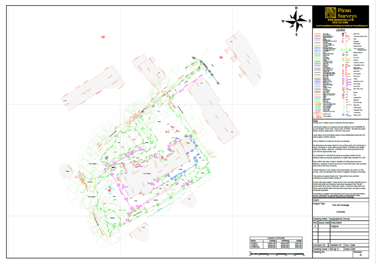
Topographical Survey
Our topographical survey service provides accurate and detailed measurements of the physical features and contours of your land. Our experienced surveyors use advanced equipment and technology to capture precise elevation data and create a comprehensive topographical plan of your property.
Our topographical surveys includes:
- Elevation data: We measure the elevation of the land at regular intervals, creating a precise contour map of the site.
- Natural features: We identify and map natural features such as trees, rocks, watercourses, and other prominent features on the site.
- Man-made features: We also record any man-made features on the land, including buildings, roads, and other structures.
Our topographical survey can be used by architects, engineers, and land developers to plan construction projects, assess the suitability of the land for a particular use or identify problems that may affect the land's use.
We provide our clients with detailed topographical plan that accurately represent the land's features and contours, as well as digital files that can be used for further analysis or planning.
With our topographical survey service, you can have peace of mind knowing that you have a clear understanding of the physical characteristics of your land. Contact us today to learn more about our topographical survey service and how we can help you with your project.